Geolocate

Taringa topographic map

Click on the map to display elevation.

About this map

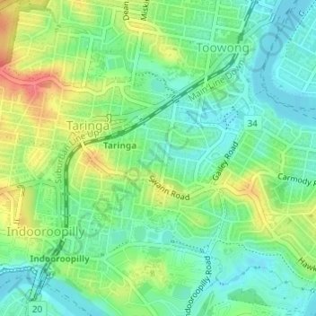
Name: Taringa topographic map, elevation, terrain.

Location: Taringa, Brisbane City, Queensland, Australia (-27.50358 152.96568 -27.48687 152.99325)

Average elevation: 85 ft

Minimum elevation: 10 ft

Maximum elevation: 213 ft

Other topographic maps

Click on a map to view its topography, its elevation and its terrain.

Willmington Park

Australia > Queensland > Brisbane City

Average elevation: 121 ft

Mount Gravatt

Australia > Queensland > Brisbane City

Average elevation: 230 ft

Ithaca

Australia > Queensland > Brisbane City > Ithaca

Average elevation: 102 ft

Gear up for your next adventure:

Solar GPS Watches - Advanced multisport watches with built-in topographic maps
❄️Traction Cleats - Prevent slips on icy trails during winter hikes
🛠️Outdoor Gear Repair Kit - Essential tools to fix gear on the trail
📡GPS Antenna Upgrade - Enhance GPS reception in remote terrain
🪶Compact Camp Shovel - Folding shovel for campsite tasks

As an Amazon Associate, this site earns from qualifying purchases at no extra cost to you.