
Cuauhtémoc topographic map
Interactive map
Click on the map to display elevation.
About this map
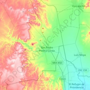
Name: Cuauhtémoc topographic map, elevation, terrain.
Location: Cuauhtémoc, Zacatecas, México (22.33469 -102.53982 22.58614 -102.26887)
Average elevation: 7,103 ft
Minimum elevation: 6,358 ft
Maximum elevation: 8,209 ft