Le Moulin à Papier topographic map
Interactive map
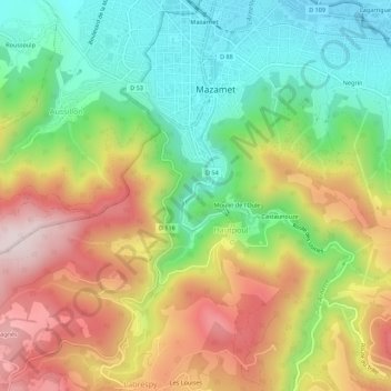
Click on the map to display elevation.
About this map
Name: Le Moulin à Papier topographic map, elevation, terrain.
Average elevation: 1,476 ft
Minimum elevation: 728 ft
Maximum elevation: 2,428 ft

Click on the map to display elevation.
Name: Le Moulin à Papier topographic map, elevation, terrain.
Average elevation: 1,476 ft
Minimum elevation: 728 ft
Maximum elevation: 2,428 ft