
Burnham topographic map
Interactive map
Click on the map to display elevation.
About this map
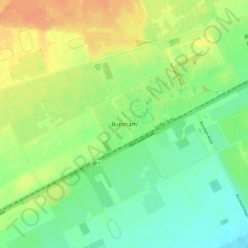
Name: Burnham topographic map, elevation, terrain.
Location: Burnham, Selwyn District, Canterbury, New Zealand (-43.63740 172.27869 -43.59740 172.31869)
Average elevation: 223 ft
Minimum elevation: 154 ft
Maximum elevation: 299 ft