
Azeba topographic map
Interactive map
Click on the map to display elevation.
About this map
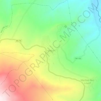
Name: Azeba topographic map, elevation, terrain.
Location: Azeba, Aïn Tinn, Daïra Mila, Mila, 43016, Algérie (36.40749 6.30223 36.44749 6.34223)
Average elevation: 1,804 ft
Minimum elevation: 833 ft
Maximum elevation: 3,222 ft