
Drijber topographic map
Interactive map
Click on the map to display elevation.
About this map
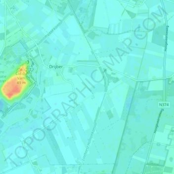
Name: Drijber topographic map, elevation, terrain.
Location: Drijber, Midden-Drenthe, Drenthe, Nederland (52.76540 6.50341 52.80724 6.58122)
Average elevation: 52 ft
Minimum elevation: 36 ft
Maximum elevation: 167 ft