
Cantilan topographic map
Interactive map
Click on the map to display elevation.
About this map
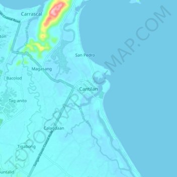
Name: Cantilan topographic map, elevation, terrain.
Location: Cantilan, Surigao del Sur, Caraga, 8317, Philippines (9.29489 125.93570 9.37489 126.01570)
Average elevation: 20 ft
Minimum elevation: -7 ft
Maximum elevation: 558 ft