
Temixco topographic map
Interactive map
Click on the map to display elevation.
About this map
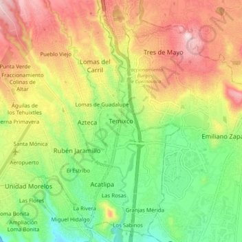
Name: Temixco topographic map, elevation, terrain.
Location: Temixco, Morelos, 62760, Mexico (18.81141 -99.26929 18.89141 -99.18929)
Average elevation: 4,278 ft
Minimum elevation: 3,750 ft
Maximum elevation: 4,934 ft