
Capinota topographic map
Interactive map
Click on the map to display elevation.
About this map
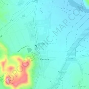
Name: Capinota topographic map, elevation, terrain.
Location: Capinota, Cochabamba, Bolivia (-17.72061 -66.26941 -17.69986 -66.25916)
Average elevation: 7,904 ft
Minimum elevation: 7,785 ft
Maximum elevation: 8,350 ft