
Neika topographic map
Interactive map
Click on the map to display elevation.
About this map
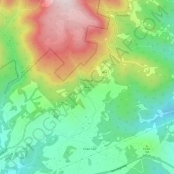
Name: Neika topographic map, elevation, terrain.
Location: Neika, Tasmania, Australia (-42.97001 147.21318 -42.93001 147.25318)
Average elevation: 1,306 ft
Minimum elevation: 476 ft
Maximum elevation: 2,631 ft