
Hurden topographic map
Interactive map
Click on the map to display elevation.
About this map
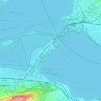
Name: Hurden topographic map, elevation, terrain.
Location: Hurden, Pfäffikon, Freienbach, Höfe, Schwyz, 8808, Suisse (47.19425 8.78435 47.23425 8.82435)
Average elevation: 1,348 ft
Minimum elevation: 1,319 ft
Maximum elevation: 1,804 ft