
Oumache topographic map
Interactive map
Click on the map to display elevation.
About this map
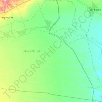
Name: Oumache topographic map, elevation, terrain.
Location: Oumache, Daïra Ourlal, Biskra, Algérie (34.38453 5.62478 34.78829 5.96828)
Average elevation: 217 ft
Minimum elevation: 16 ft
Maximum elevation: 1,168 ft
Other topographic maps
Click on a map to view its topography, its elevation and its terrain.
Lioua
Algérie > Biskra > Daïra Ourlal
Lioua, Daïra Ourlal, Biskra, 07310, Algérie
Average elevation: 390 ft