
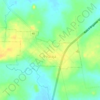
Pirarajá topographic map
Interactive map
Click on the map to display elevation.
About this map
Name: Pirarajá topographic map, elevation, terrain.
Location: Pirarajá, Lavalleja, 30002, Uruguay (-33.74525 -54.77867 -33.73299 -54.74679)
Average elevation: 223 ft
Minimum elevation: 180 ft
Maximum elevation: 272 ft
Other topographic maps
Click on a map to view its topography, its elevation and its terrain.
Solís de Mataojo
Solís de Mataojo, Lavalleja, 30100, Uruguay
Average elevation: 108 ft
Arroyo Aguas Blancas
Arroyo Aguas Blancas, Lavalleja, 30100, Uruguay
Average elevation: 262 ft
José Pedro Varela
Uruguay > Lavalleja > José Pedro Varela
José Pedro Varela, Lavalleja, 30300, Uruguay
Average elevation: 226 ft
José Batlle y Ordóñez
Uruguay > Lavalleja > José Batlle y Ordóñez
José Batlle y Ordóñez, Lavalleja, 30200, Uruguay
Average elevation: 919 ft