
Montañita topographic map
Interactive map
Click on the map to display elevation.
About this map
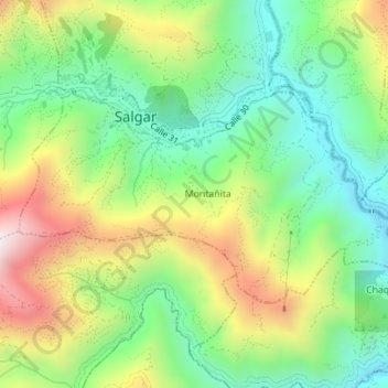
Name: Montañita topographic map, elevation, terrain.
Location: Montañita, Salgar, Suroeste, Antioquia, Colombia (5.94645 -75.98963 5.96580 -75.95481)
Average elevation: 4,774 ft
Minimum elevation: 3,711 ft
Maximum elevation: 6,335 ft