
Falera topographic map
Interactive map
Click on the map to display elevation.
About this map
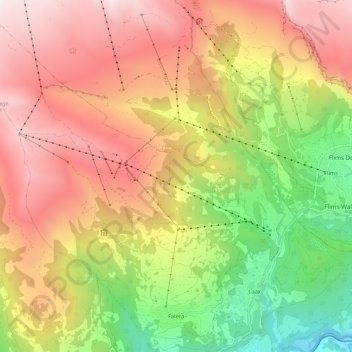
Name: Falera topographic map, elevation, terrain.
Location: Falera, Surselva, Grisons, 7153, Switzerland (46.79267 9.16539 46.87247 9.24916)
Average elevation: 5,512 ft
Minimum elevation: 2,142 ft
Maximum elevation: 8,622 ft