
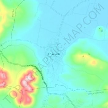
Chavinda topographic map
Interactive map
Click on the map to display elevation.
About this map
Name: Chavinda topographic map, elevation, terrain.
Location: Chavinda, Michoacán, México (19.96672 -102.49913 20.04672 -102.41913)
Average elevation: 5,456 ft
Minimum elevation: 5,105 ft
Maximum elevation: 7,021 ft