
Gorjões topographic map
Interactive map
Click on the map to display elevation.
About this map
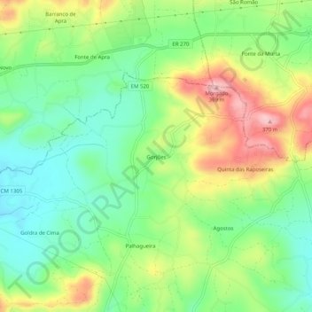
Name: Gorjões topographic map, elevation, terrain.
Location: Gorjões, Faro, Algarve, 8005-517, Portugal (37.11324 -7.97465 37.15324 -7.93465)
Average elevation: 817 ft
Minimum elevation: 564 ft
Maximum elevation: 1,201 ft