
Bordj M'hiris topographic map
Interactive map
Click on the map to display elevation.
About this map
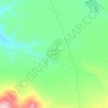
Name: Bordj M'hiris topographic map, elevation, terrain.
Location: Bordj M'hiris, Aïn Abid, Daïra Aïn Abid, Constantine, Algérie (36.15532 6.92785 36.19532 6.96785)
Average elevation: 3,015 ft
Minimum elevation: 2,779 ft
Maximum elevation: 3,478 ft
Other topographic maps
Click on a map to view its topography, its elevation and its terrain.
Douar Ali Ben Bouguera
Algérie > Constantine > Daïra Aïn Abid > Aïn Abid
Douar Ali Ben Bouguera, Aïn Abid, Daïra Aïn Abid, Constantine, Algérie
Average elevation: 2,953 ft