
Oberhasli topographic map
Interactive map
Click on the map to display elevation.
About this map
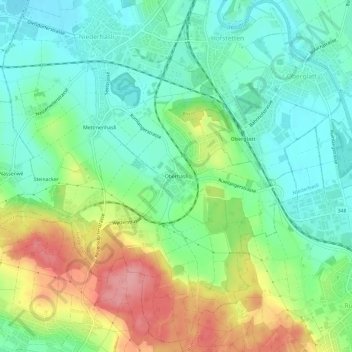
Name: Oberhasli topographic map, elevation, terrain.
Location: Oberhasli, Niederhasli, Bezirk Dielsdorf, Zurich, 8156, Suisse (47.44541 8.47925 47.48541 8.51925)
Average elevation: 1,473 ft
Minimum elevation: 1,342 ft
Maximum elevation: 1,719 ft