
Neumark topographic map
Interactive map
Click on the map to display elevation.
About this map
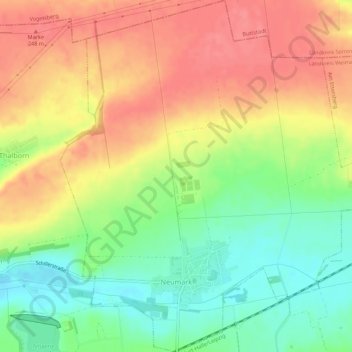
Name: Neumark topographic map, elevation, terrain.
Average elevation: 719 ft
Minimum elevation: 600 ft
Maximum elevation: 820 ft
Other topographic maps
Click on a map to view its topography, its elevation and its terrain.
Söllnitz
Allemagne > Thuringe > Landkreis Weimarer Land > Blankenhain > Söllnitz
Söllnitz, Blankenhain, Landkreis Weimarer Land, Thuringe, Allemagne
Average elevation: 1,230 ft