
Thank you for supporting this site ❤️
Make a donation
Make a donation
Gear up for your next adventure:
As an Amazon Associate, this site earns from qualifying purchases at no extra cost to you.
Solz topographic map
Click on the map to display elevation.
Thank you for supporting this site ❤️
Make a donation
Make a donation
Gear up for your next adventure:
As an Amazon Associate, this site earns from qualifying purchases at no extra cost to you.
About this map
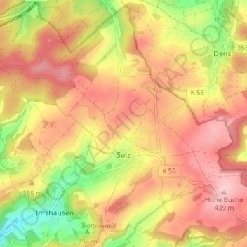
Name: Solz topographic map, elevation, terrain.
Location: Solz, Bebra, Landkreis Hersfeld-Rotenburg, Hesse, Germany (50.99225 9.85695 51.03021 9.91998)
Average elevation: 1,188 ft
Minimum elevation: 823 ft
Maximum elevation: 1,440 ft
Thank you for supporting this site ❤️
Make a donation
Make a donation
Gear up for your next adventure:
As an Amazon Associate, this site earns from qualifying purchases at no extra cost to you.