
Toketee Falls topographic map
Interactive map
Click on the map to display elevation.
About this map
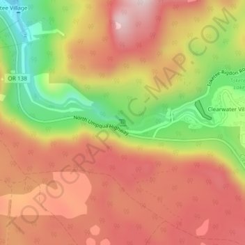
Name: Toketee Falls topographic map, elevation, terrain.
Average elevation: 2,838 ft
Minimum elevation: 1,972 ft
Maximum elevation: 3,455 ft
Other topographic maps
Click on a map to view its topography, its elevation and its terrain.
Diamond Lake
Stati Uniti d'America > Oregon > Douglas County
Diamond Lake, Douglas County, Oregon, Stati Uniti d'America
Average elevation: 5,371 ft