
绣缎镇 topographic map
Interactive map
Click on the map to display elevation.
About this map
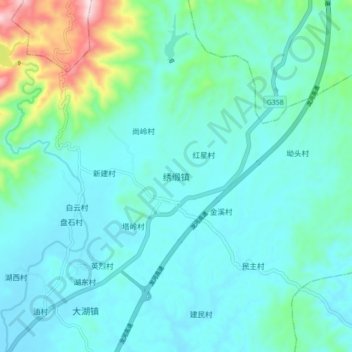
Name: 绣缎镇 topographic map, elevation, terrain.
Location: 绣缎镇, 河源市, 广东省, 中国 (24.23010 114.81489 24.31010 114.89489)
Average elevation: 679 ft
Minimum elevation: 427 ft
Maximum elevation: 1,962 ft
Other topographic maps
Click on a map to view its topography, its elevation and its terrain.