
钵池山 topographic map
Interactive map
Click on the map to display elevation.
About this map
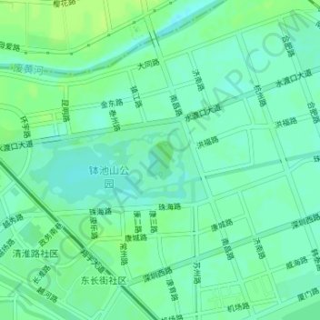
Name: 钵池山 topographic map, elevation, terrain.
Location: 钵池山, 清江浦区, 淮安市, 江苏省, 中国 (33.59720 119.05610 33.60051 119.05883)
Average elevation: 43 ft
Minimum elevation: 23 ft
Maximum elevation: 62 ft