
Lumber City topographic map
Interactive map
Click on the map to display elevation.
About this map
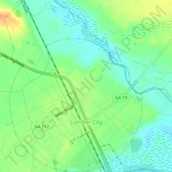
Name: Lumber City topographic map, elevation, terrain.
Location: Lumber City, Telfair County, Georgia, 31549, United States (31.92107 -82.69555 31.94951 -82.66873)
Average elevation: 135 ft
Minimum elevation: 85 ft
Maximum elevation: 210 ft
Other topographic maps
Click on a map to view its topography, its elevation and its terrain.
McRae–Helena
United States > Georgia > Telfair County
McRae–Helena, Telfair County, Georgia, 31055, United States
Average elevation: 217 ft