
Gratal topographic map
Interactive map
Click on the map to display elevation.
About this map
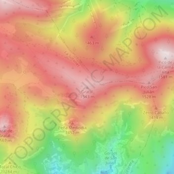
Name: Gratal topographic map, elevation, terrain.
Average elevation: 4,295 ft
Minimum elevation: 3,048 ft
Maximum elevation: 5,151 ft
Other topographic maps
Click on a map to view its topography, its elevation and its terrain.
La Sotonera
España > Aragón > La Sotonera
La Sotonera, Hoya de Huesca, Huesca, Aragón, España
Average elevation: 2,270 ft