
Río Chira topographic map
Interactive map
Click on the map to display elevation.
About this map
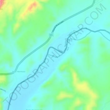
Name: Río Chira topographic map, elevation, terrain.
Location: Río Chira, Suyo, Ayabaca, Piura, Perú (-4.41188 -80.28701 -4.41086 -80.28308)
Average elevation: 538 ft
Minimum elevation: 440 ft
Maximum elevation: 817 ft