
Nicolet topographic map
Interactive map
Click on the map to display elevation.
About this map
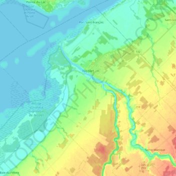
Name: Nicolet topographic map, elevation, terrain.
Location: Nicolet, Nicolet-Yamaska, Centre-du-Québec, Quebec, Canada (46.14130 -72.73250 46.28321 -72.51214)
Average elevation: 66 ft
Minimum elevation: 3 ft
Maximum elevation: 213 ft