
Athani topographic map
Interactive map
Click on the map to display elevation.
About this map
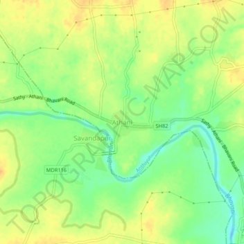
Name: Athani topographic map, elevation, terrain.
Location: Athani, Anthiyur, Erode District, Tamil Nadu, 638502, India (11.50353 77.49243 11.54353 77.53243)
Average elevation: 633 ft
Minimum elevation: 574 ft
Maximum elevation: 679 ft