
Gundur topographic map
Interactive map
Click on the map to display elevation.
About this map
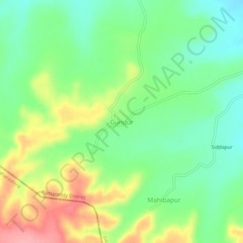
Name: Gundur topographic map, elevation, terrain.
Location: Gundur, Jukkal mandal, Kamareddy District, Telangana, India (18.32488 77.54605 18.36488 77.58605)
Average elevation: 1,463 ft
Minimum elevation: 1,325 ft
Maximum elevation: 1,680 ft