
Shymkent topographic map
Interactive map
Click on the map to display elevation.
About this map
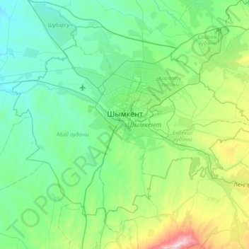
Name: Shymkent topographic map, elevation, terrain.
Location: Shymkent, Kazakhstan (42.10856 69.30185 42.47953 69.93546)
Average elevation: 1,860 ft
Minimum elevation: 1,027 ft
Maximum elevation: 5,755 ft