
Lamayuru topographic map
Interactive map
Click on the map to display elevation.
About this map
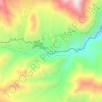
Name: Lamayuru topographic map, elevation, terrain.
Location: Lamayuru, Khaltsi, Leh district, Ladakh, India (34.26271 76.75396 34.30271 76.79396)
Average elevation: 12,110 ft
Minimum elevation: 10,636 ft
Maximum elevation: 13,871 ft