
Tepearası topographic map
Interactive map
Click on the map to display elevation.
About this map
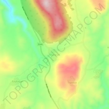
Name: Tepearası topographic map, elevation, terrain.
Location: Tepearası, Bozkır, Konya, Zentralanatolien, Türkei (37.13558 32.27015 37.17558 32.31015)
Average elevation: 4,744 ft
Minimum elevation: 4,173 ft
Maximum elevation: 5,394 ft