Geolocate

Searchlight topographic map

Click on the map to display elevation.

Searchlight

Searchlight is an unincorporated town and census-designated place (CDP) in Clark County, Nevada, United States, at the topographic saddle between two mountain ranges. At the 2020 census it had a population of 445.

Wikipedia (CC-BY-SA 3.0)

About this map

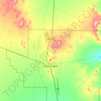
Name: Searchlight topographic map, elevation, terrain.

Location: Searchlight, Searchlight Township, Clark County, Nevada, 89046, United States (35.42748 -114.93953 35.53474 -114.88365)

Average elevation: 3,566 ft

Minimum elevation: 2,976 ft

Maximum elevation: 4,419 ft

Clark County trails, hiking, mountain biking, running and outdoor activities

Gear up for your next adventure:

🔦LED Headlamp - Bright and durable LED headlamp for night navigation
🎒Trekking Poles - Sturdy poles for balance and stability on rough terrain
🥩Freeze-Dried Meals - Nutritious and lightweight food for remote expeditions
🪶Paracord Bracelet - Survival bracelet with built‑in tools
Solar GPS Watches - Advanced multisport watches with built-in topographic maps

As an Amazon Associate, this site earns from qualifying purchases at no extra cost to you.