
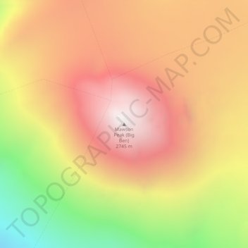
Mawson Peak (Big Ben) topographic map
Interactive map
Click on the map to display elevation.
About this map
Name: Mawson Peak (Big Ben) topographic map, elevation, terrain.
Location: Mawson Peak (Big Ben), Heard- en McDonaldeilanden, Australië (-53.10461 73.51710 -53.10451 73.51720)
Average elevation: 7,129 ft
Minimum elevation: 4,531 ft
Maximum elevation: 8,980 ft