
Harold topographic map
Interactive map
Click on the map to display elevation.
About this map
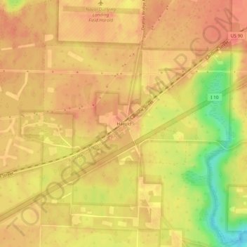
Name: Harold topographic map, elevation, terrain.
Location: Harold, Santa Rosa County, Florida, USA (30.63908 -86.90024 30.67908 -86.86024)
Average elevation: 141 ft
Minimum elevation: 16 ft
Maximum elevation: 190 ft