
Tanne topographic map
Interactive map
Click on the map to display elevation.
About this map
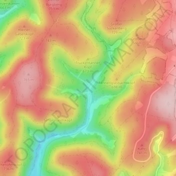
Name: Tanne topographic map, elevation, terrain.
Average elevation: 2,254 ft
Minimum elevation: 1,775 ft
Maximum elevation: 2,569 ft
Other topographic maps
Click on a map to view its topography, its elevation and its terrain.
Großer Burgberg
Deutschland > Thüringen > Schleusegrund
Großer Burgberg, Schleusegrund, Landkreis Hildburghausen, Thüringen, Deutschland
Average elevation: 2,428 ft
Engenstein
Deutschland > Thüringen > Schleusegrund
Engenstein, Biberau, Schleusegrund, Landkreis Hildburghausen, Thüringen, 98666, Deutschland
Average elevation: 1,736 ft