
Überherrn topographic map
Interactive map
Click on the map to display elevation.
About this map
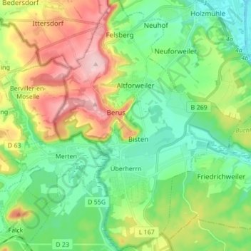
Name: Überherrn topographic map, elevation, terrain.
Location: Überherrn, Landkreis Saarlouis, Sarre, 66802, Allemagne (49.21521 6.66009 49.30452 6.76246)
Average elevation: 801 ft
Minimum elevation: 571 ft
Maximum elevation: 1,240 ft