
CS topographic map
Interactive map
Click on the map to display elevation.
About this map
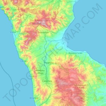
Name: CS topographic map, elevation, terrain.
Location: CS, CAL, Italia (39.04870 15.75642 40.14492 17.02367)
Average elevation: 1,339 ft
Minimum elevation: -3 ft
Maximum elevation: 7,352 ft
Other topographic maps
Click on a map to view its topography, its elevation and its terrain.