
Nasketucket Bay topographic map
Interactive map
Click on the map to display elevation.
About this map
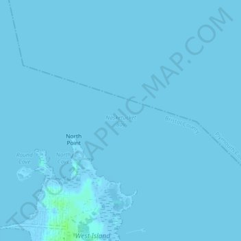
Name: Nasketucket Bay topographic map, elevation, terrain.
Average elevation: 0 ft
Minimum elevation: -33 ft
Maximum elevation: 23 ft
Other topographic maps
Click on a map to view its topography, its elevation and its terrain.
Fort Phoenix
USA > Massachusetts > Fairhaven
Fort Phoenix, Fairhaven, Bristol County, Massachusetts, 02744, USA
Average elevation: 0 ft