
龙坪 topographic map
Interactive map
Click on the map to display elevation.
About this map
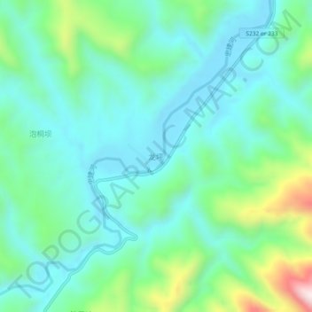
Name: 龙坪 topographic map, elevation, terrain.
Location: 龙坪, 咸丰县, 恩施土家族苗族自治州, 湖北省, 445600, 中国 (29.78132 109.26741 29.82132 109.30741)
Average elevation: 2,480 ft
Minimum elevation: 2,024 ft
Maximum elevation: 3,980 ft
Other topographic maps
Click on a map to view its topography, its elevation and its terrain.