
Asel topographic map
Interactive map
Click on the map to display elevation.
About this map
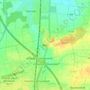
Name: Asel topographic map, elevation, terrain.
Average elevation: 285 ft
Minimum elevation: 240 ft
Maximum elevation: 335 ft
Other topographic maps
Click on a map to view its topography, its elevation and its terrain.
Wohldenberg
Duitsland > Nedersaksen > Landkreis Hildesheim > Holle > Sillium
Wohldenberg, Sillium, Holle, Landkreis Hildesheim, Nedersaksen, 31188, Duitsland
Average elevation: 449 ft
Bodenburg
Duitsland > Nedersaksen > Landkreis Hildesheim > Bad Salzdetfurth > Bodenburg
Bodenburg, Bad Salzdetfurth, Landkreis Hildesheim, Nedersaksen, 31162, Duitsland
Average elevation: 499 ft
Elze
Duitsland > Nedersaksen > Landkreis Hildesheim > Elze
Elze, Landkreis Hildesheim, Nedersaksen, 31008, Duitsland
Average elevation: 341 ft
Nordstemmen
Duitsland > Nedersaksen > Landkreis Hildesheim > Nordstemmen
Nordstemmen, Landkreis Hildesheim, Nedersaksen, 31171, Duitsland
Average elevation: 328 ft