
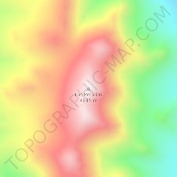
Las Peladas topographic map
Interactive map
Click on the map to display elevation.
About this map
Name: Las Peladas topographic map, elevation, terrain.
Average elevation: 14,081 ft
Minimum elevation: 12,782 ft
Maximum elevation: 15,180 ft
Other topographic maps
Click on a map to view its topography, its elevation and its terrain.
Los Nacimientos
Argentine > Catamarca > Municipio de Fiambalá
Los Nacimientos, Municipio de Fiambalá, Departamento Tinogasta, Catamarca, K5340, Argentine
Average elevation: 5,387 ft