
Greisdorf topographic map
Interactive map
Click on the map to display elevation.
About this map
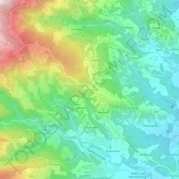
Name: Greisdorf topographic map, elevation, terrain.
Location: Greisdorf, Deutschlandsberg, Steiermark, 8511, Österreich (46.90653 15.19713 46.94653 15.23713)
Average elevation: 1,729 ft
Minimum elevation: 1,158 ft
Maximum elevation: 2,927 ft