
Ware River topographic map
Interactive map
Click on the map to display elevation.
About this map
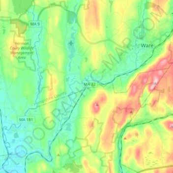
Name: Ware River topographic map, elevation, terrain.
Location: Ware River, Ware, Hampden, Massachusetts, 01079, USA (42.18074 -72.36540 42.28611 -72.21492)
Average elevation: 571 ft
Minimum elevation: 292 ft
Maximum elevation: 1,132 ft