
陈家庄 topographic map
Interactive map
Click on the map to display elevation.
About this map
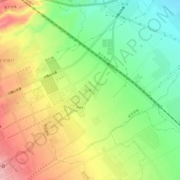
Name: 陈家庄 topographic map, elevation, terrain.
Location: 陈家庄, 夏官营镇, 榆中县, 兰州市, 甘肃省, 中国 (35.84438 104.11803 35.88438 104.15803)
Average elevation: 6,237 ft
Minimum elevation: 6,020 ft
Maximum elevation: 6,486 ft
Other topographic maps
Click on a map to view its topography, its elevation and its terrain.