
Houtvenne topographic map
Interactive map
Click on the map to display elevation.
About this map
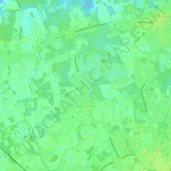
Name: Houtvenne topographic map, elevation, terrain.
Location: Houtvenne, Hulshout, Turnhout, Antwerp, Flanders, Belgium (51.02832 4.78860 51.06379 4.81775)
Average elevation: 36 ft
Minimum elevation: 13 ft
Maximum elevation: 52 ft
Other topographic maps
Click on a map to view its topography, its elevation and its terrain.