
Oz topographic map
Interactive map
Click on the map to display elevation.
About this map
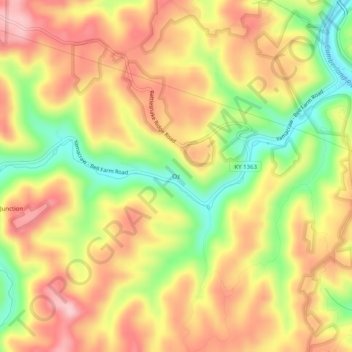
Name: Oz topographic map, elevation, terrain.
Location: Oz, McCreary County, Kentucky, USA (36.68647 -84.58744 36.72647 -84.54744)
Average elevation: 1,089 ft
Minimum elevation: 722 ft
Maximum elevation: 1,381 ft