
Köpings kommun topographic map
Interactive map
Click on the map to display elevation.
About this map
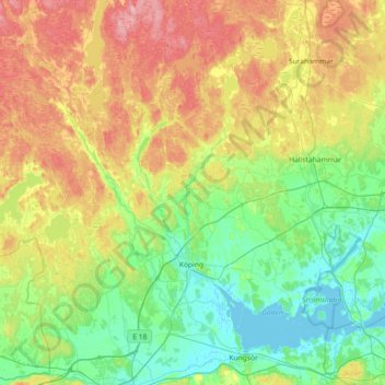
Name: Köpings kommun topographic map, elevation, terrain.
Location: Köpings kommun, Västmanland County, Sweden (59.44750 15.51270 59.71548 16.23577)
Average elevation: 164 ft
Minimum elevation: -7 ft
Maximum elevation: 489 ft
Other topographic maps
Click on a map to view its topography, its elevation and its terrain.