
Joux topographic map
Interactive map
Click on the map to display elevation.
About this map
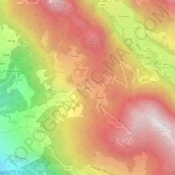
Name: Joux topographic map, elevation, terrain.
Location: Joux, Aosta Valley, 11022, Italy (45.73320 7.67766 45.77320 7.71766)
Average elevation: 4,797 ft
Minimum elevation: 1,880 ft
Maximum elevation: 6,864 ft